Maps for public transport
The use of maps also has great potential in public transport. For example, timetable information can increasingly be found at bus stops, which are enhanced by maps with information about the current stop.
Environmental information
Starting from the stop, a walking radius can be displayed within which, for example, tourist attractions are shown. These can then be called up by visitors, providing interesting additional information that complements the public transport offer.
Hundreds of stops
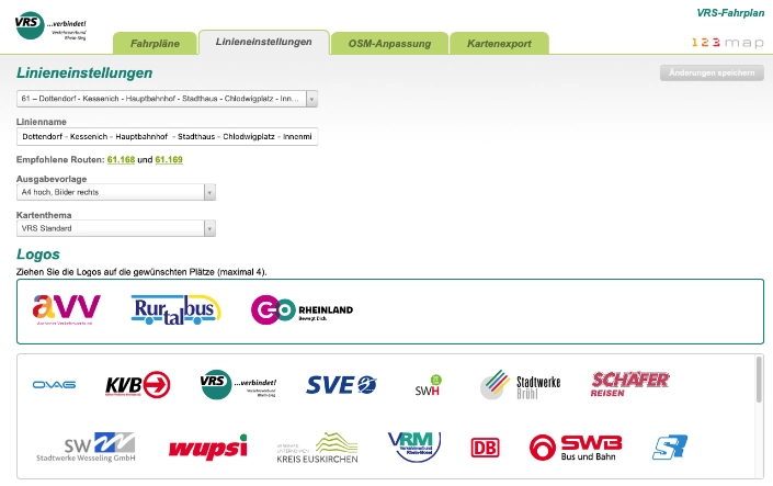
In large cities with hundreds of stops, the automated creation of such plans, which can be integrated into the company's workflow, is a good idea.
Based on the position of the respective stop, pre-selected points of interest etc. are automatically integrated into a map and made available for pre-press.
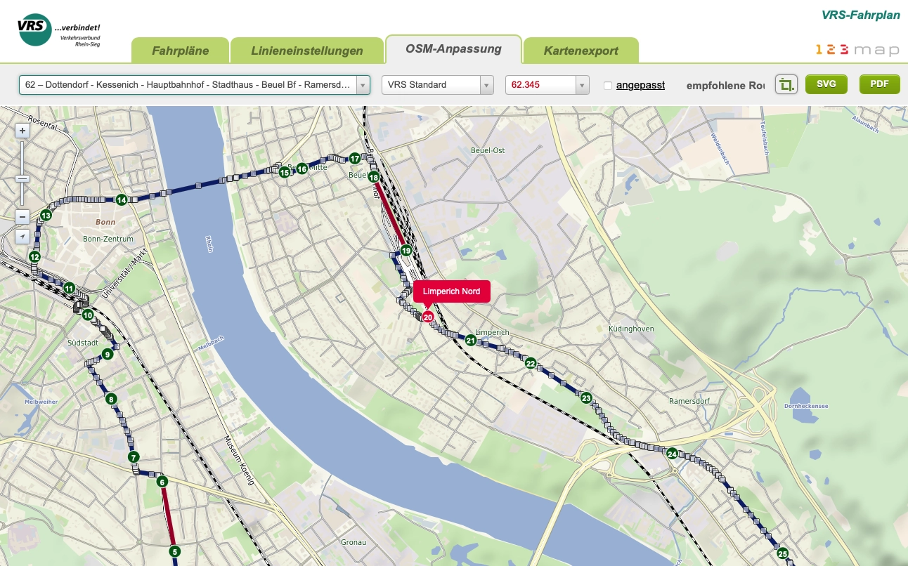
Even entire lines can be generated without any problems.
Our Solution
We have already implemented such a software-based solution for a large transport association. Our system was connected directly to the timetable database via an interface developed by us. In this way, current information on e.g. replacement stops is kept up to date without any problems and timetable changes are also automatically entered into the system.
Please contact us if you are interested.