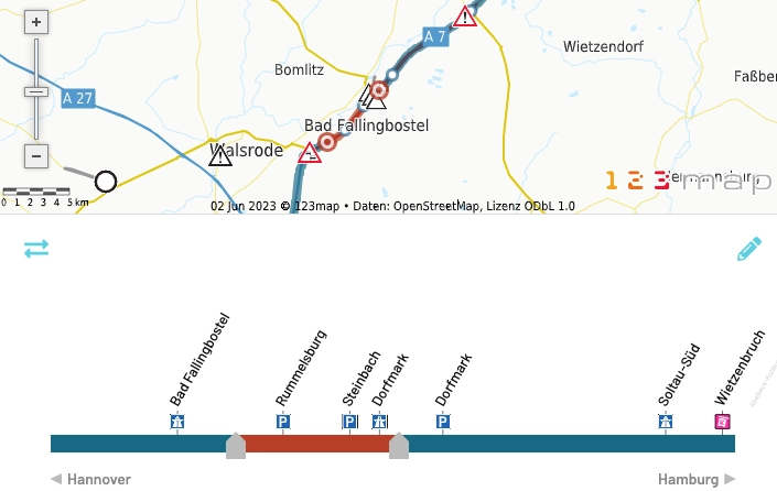
Interactive maps for Internet applications
A wide variety of information is required in online maps, depending on the area of application. The hiker needs information about altitude differences on his hiking route, which is not relevant for the driver. The analyst requires information for the respective analysis.
What all use cases have in common is that there should be intuitive access to information, including via interaction options. It is also very helpful if unimportant information is not visualized. This enables faster access to the relevant information on the map.
Customizable map themes
123map map technology offers a unique solution for the individual adaptation of map content and visualizations.
Our map editor, which customers can use independently to define their own map content, is just the beginning. After creating their own map theme, the map can be easily integrated into the customer's website at no extra cost for the individual design and customized content.
If you have any further wishes, we can provide advice and assistance in the creation of very special maps and jointly develop a product that meets all the customer's requirements.
It is even possible to integrate various interactions and your own data on the server side. Please do not hesitate to contact us.
Easy to integrate into your intranet or the Internet
Integrate your individualized maps independently via our API directly into your website or application. Detailed online documentation guides you through the various functionalities with numerous interactive examples. If you are interested, please do not hesitate to contact us.
Automated data transfers
In addition, we provide an interface that allows you to integrate and update your own information for use in the map. For example, you can update your entire branch network with all new opening hours or your new real estate offers etc. at runtime.
Our map server allows you to filter your data according to predefined criteria. The user of the map app can then simply display, for example, all stores that are open on Sundays or at certain times. The results can then be seen immediately on a map, e.g. nationwide, without any restrictions on the number. A sophisticated list display of the filter results is of course obligatory.
Queries and dynamic visualizations
Our map server supports simple data queries on the layers used as well as reverse geocoding or highlighting of search results directly in the map. Since each map is completely rebuilt each time it is called up, unprecedented possibilities of presentation and interactivity are possible.